
Hallasan National Park surrounds Hallasan, the volcanic mountain rising from the center of Jeju Island and forming one of the island’s most important natural landscapes. Forests, volcanic rock, mountain ridges, seasonal vegetation, high-altitude scenery, and the summit crater create an environment that changes dramatically as visitors move higher up the mountain.
For international visitors, Hallasan offers a very different experience from Jeju’s beaches and coastal villages. A visit can range from a shorter forest walk to a demanding full-day hike, depending on the trail. The mountain also provides a closer look at the volcanic environment that shaped Jeju and continues to define the island’s natural identity.
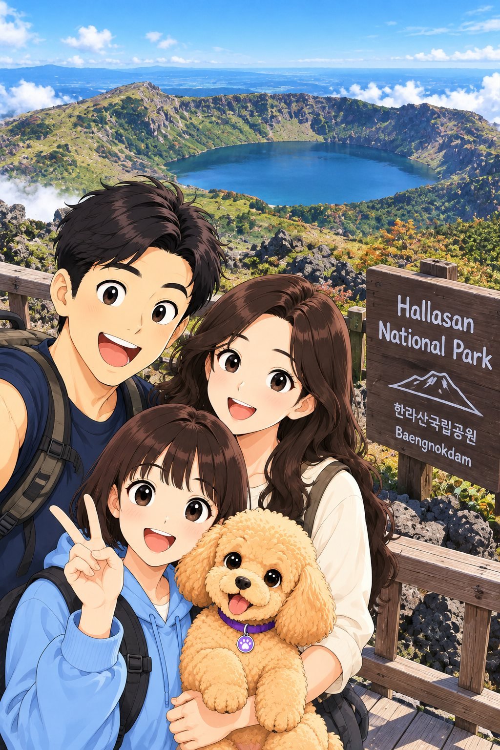
Hallasan National Park brings together volcanic terrain, forests, high-altitude landscapes, changing seasons, and some of Jeju Island’s most dramatic mountain scenery.
Quick Guide
| Location | Central Jeju Island |
| Best for | Hiking, volcanic landscapes, forests, mountain views, seasonal scenery, photography |
| Highest point | Hallasan, 1,947 m |
| Trail difficulty | Varies considerably by route, from shorter walks to demanding summit hikes |
| Important | Summit-route access, reservation requirements, entry cut-off times, and trail conditions should be checked before hiking |
| Good to combine with | Other central Jeju nature attractions and a wider Jeju itinerary |
What Is Hallasan National Park?
Hallasan National Park protects the mountain and surrounding natural environment of Hallasan, the highest mountain in South Korea. Rising from the center of Jeju Island, Hallasan dominates the island’s geography and can be seen from many areas when weather conditions are clear.
The mountain was formed through volcanic activity, and its landscape includes lava formations, forests, rocky slopes, high-altitude vegetation, volcanic terrain, and the summit crater known as Baengnokdam.
Hallasan is also closely connected with Jeju’s internationally recognized natural heritage. Its ecological and geological importance makes the park more than a hiking destination, so visitors should remain on designated trails and follow all conservation and safety rules.
Volcanic Mountain Landscape
Hallasan reveals another side of Jeju’s volcanic landscape. While Seongsan Ilchulbong rises dramatically beside the eastern coast, Hallasan forms the mountainous center of the island.
The scenery changes with elevation. Lower areas can be densely forested, while higher sections become more exposed and reveal volcanic rock, mountain ridges, open skies, and wider views across Jeju.
Weather can transform the landscape quickly. Clouds may move across the mountain, visibility can change within a short period, and conditions near higher elevations can be very different from those at the trail entrance.
Why Visit?
- Experience South Korea’s highest mountain and one of Jeju’s defining natural landmarks.
- Explore forests, volcanic terrain, mountain ridges, and high-altitude landscapes.
- Choose from different hiking experiences depending on route and ability.
- See how Jeju’s volcanic geology extends from its coastline to its mountainous interior.
- Experience changing seasonal scenery throughout the year.
- Photograph forests, volcanic rock, clouds, mountain views, and natural landscapes.
- Connect Hallasan with Seongsan Ilchulbong and Udo Island for a broader view of Jeju’s natural environment.
Forest Trails
Many Hallasan hiking experiences begin in forested terrain. Trees provide shade along parts of the lower routes, while volcanic stones, roots, wooden walkways, stairs, and changing elevation gradually reveal the mountain environment.
The forest can look very different depending on season and weather. Spring brings fresh vegetation, summer creates dense greenery, autumn introduces changing leaf colors, and winter can transform parts of the mountain with snow and ice.
Trail conditions vary by route and elevation. Comfortable hiking shoes, appropriate clothing, sufficient water, and preparation for changing weather are important even when conditions appear mild at the starting point.
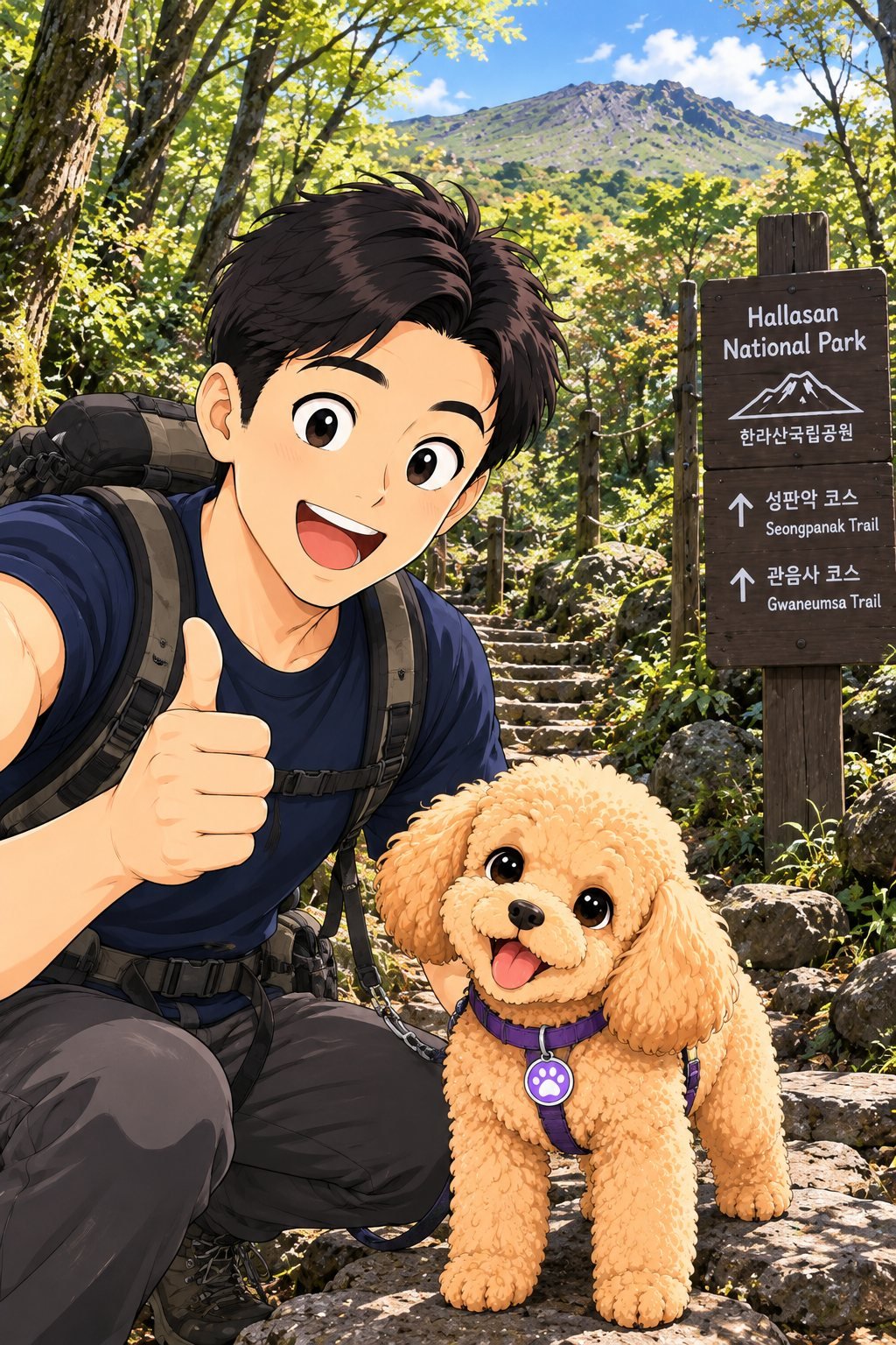
Hallasan’s forest trails gradually lead hikers from sheltered woodland toward the mountain’s higher volcanic landscape.
High-Altitude Nature
As visitors move higher on Hallasan, the environment gradually changes from dense forest to more open mountain scenery. Lower temperatures, stronger winds, exposed volcanic rock, shrubs, and high-altitude vegetation create a landscape that feels very different from Jeju’s coastal areas.
The transition between forest and open mountain terrain is one of the most interesting parts of a Hallasan hike. Even without reaching the summit, visitors can experience how elevation changes the vegetation, temperature, visibility, and overall character of the landscape.
Because mountain weather can change quickly, hikers should carry appropriate clothing and be prepared for conditions that may be colder, wetter, or windier than those at lower elevations.
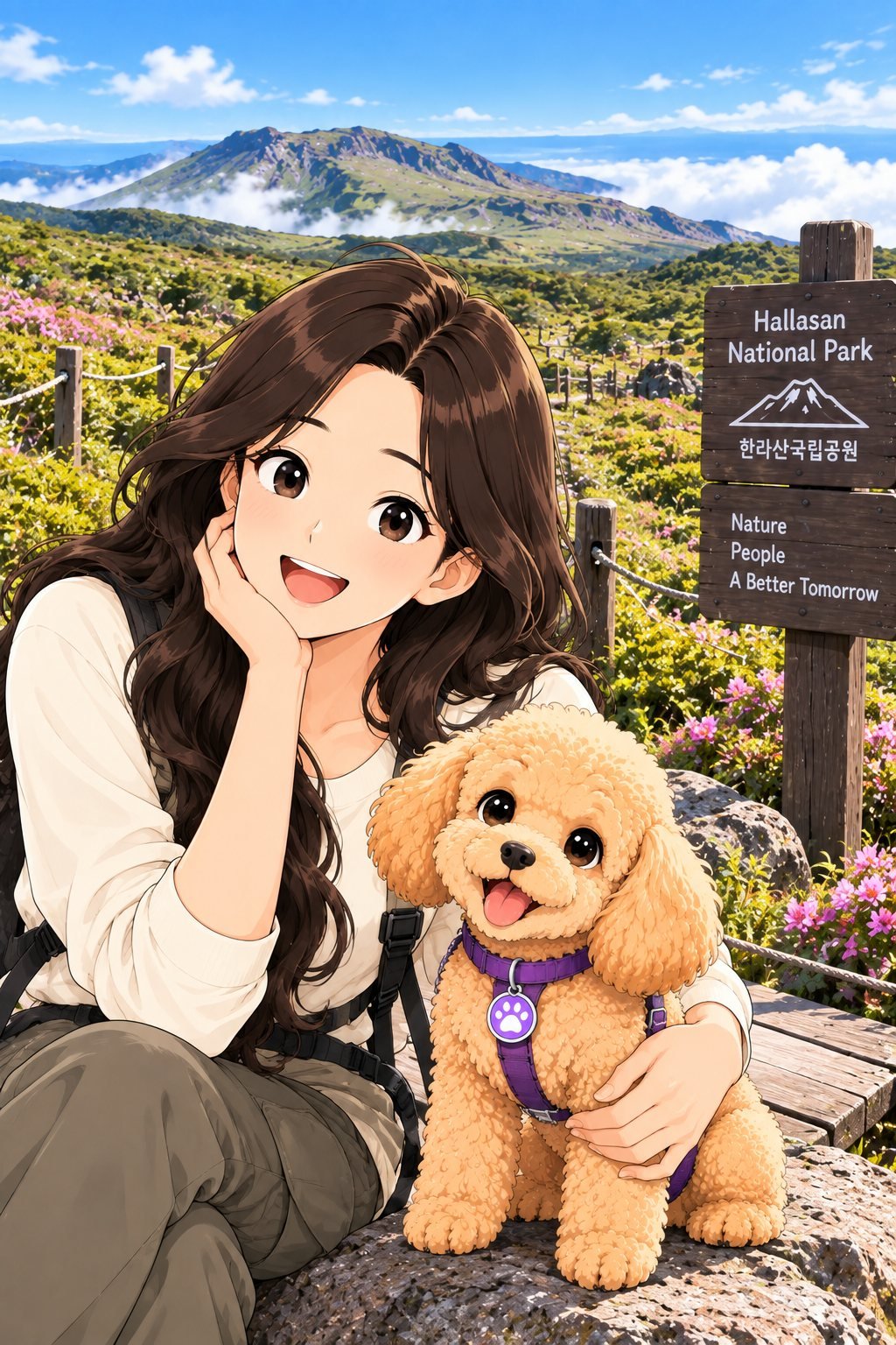
Open mountain terrain, seasonal vegetation, volcanic rock, and changing clouds reveal another side of Hallasan above the forest.
Hiking to Baengnokdam
Baengnokdam is the summit crater of Hallasan and one of the mountain’s most recognizable natural features. Reaching the summit area requires a long and physically demanding hike, so visitors should prepare carefully before attempting the route.
The journey involves substantial elevation gain and many hours of walking. Trail conditions, weather, fitness level, rest periods, and seasonal conditions can all affect how difficult the hike feels.
Access to the summit can also be controlled by reservation systems, entry cut-off times, weather restrictions, maintenance, or safety conditions. Visitors planning a summit hike should always check the latest official Hallasan National Park information before departure.
Seongpanak & Gwaneumsa Trails
Seongpanak and Gwaneumsa are the principal routes associated with reaching Hallasan’s summit area. They provide different hiking experiences and should be considered full mountain hikes rather than short sightseeing walks.
Seongpanak is generally associated with a longer, more gradual approach through extensive forest sections, while Gwaneumsa includes steeper and more dramatic mountain terrain in parts of the route.
Some hikers may choose one route for the ascent and another for the descent when current park rules and trail conditions allow. However, route planning should be based on current official information rather than older itineraries.
Reservation requirements, entry times, trail closures, weather restrictions, parking, transportation, and summit access rules can change. Confirm all current requirements before beginning either route.
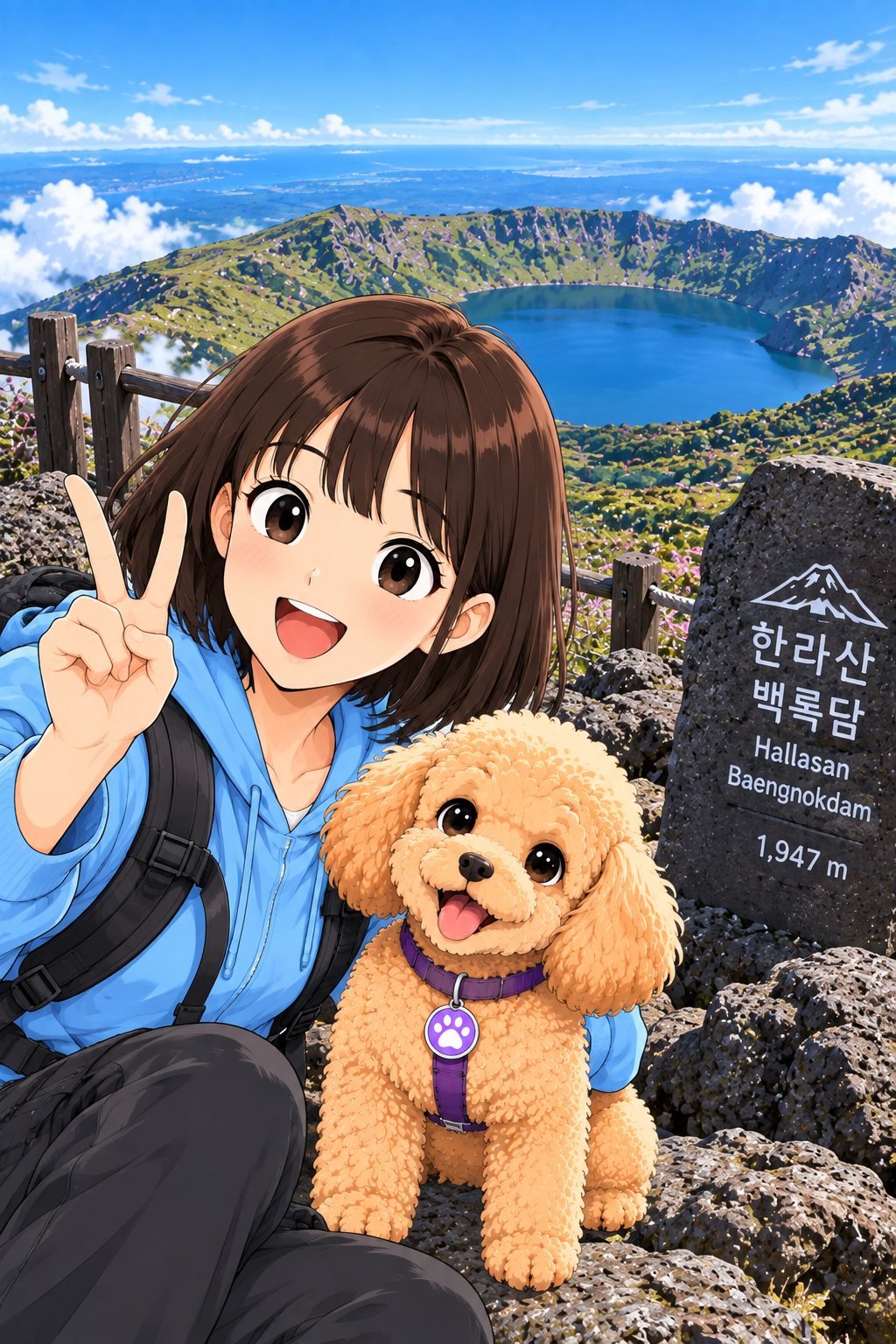
Hallasan’s summit area opens toward Baengnokdam and expansive mountain scenery high above Jeju Island.
Summit & Baengnokdam
Baengnokdam sits within Hallasan’s summit crater and is one of the defining images of the mountain. Its appearance can vary greatly depending on precipitation, season, clouds, visibility, and other natural conditions.
The summit environment is exposed, and weather can change quickly. Clear conditions may provide broad views across Jeju, while clouds or fog can reduce visibility within a short period.
Reaching the summit should not be treated as guaranteed. Weather, trail conditions, safety controls, entry cut-off times, or other park restrictions may prevent access even when a hike has been planned in advance.
UNESCO & Jeju Natural Heritage
Hallasan forms part of the UNESCO World Heritage property known as Jeju Volcanic Island and Lava Tubes. Together with Seongsan Ilchulbong and other volcanic features, it helps explain the geological processes that shaped Jeju Island.
The mountain is also important for its ecosystems and changing vegetation zones. Differences in elevation create habitats for a wide variety of plant and animal life within the protected national park environment.
Visitors should remain on designated trails, avoid damaging plants or volcanic formations, take all waste with them, and follow conservation signs and park instructions throughout the hike.
Photography at Hallasan
Hallasan offers very different photography environments depending on elevation and season. Lower trails provide forest scenes, moss-covered rocks, wooden paths, and changing vegetation, while higher areas reveal volcanic terrain, ridges, clouds, open skies, and distant views.
Spring vegetation, summer greenery, autumn foliage, and winter snow can make the same trail appear completely different throughout the year.
Weather is one of the most important variables for mountain photography. Clouds and fog may hide distant scenery but can also create dramatic conditions around forests and ridges.
Keep photography equipment secure in strong wind or rain, remain on designated trails, and never cross safety barriers or protected areas for a photograph.
Hallasan in Autumn
Autumn transforms Hallasan into one of Jeju’s most colorful mountain landscapes. Forests and slopes gradually shift from summer green toward yellow, orange, and red as temperatures fall across different elevations.
Because Hallasan covers a large elevation range, autumn colors do not necessarily appear everywhere at the same time. Conditions can vary between lower forest trails and higher mountain areas, making the scenery different depending on when and where visitors hike.
Autumn is also a popular hiking period, so trail entrances and well-known routes can become busier. Weather can still change quickly, and hikers should prepare for cooler temperatures and stronger wind at higher elevations.
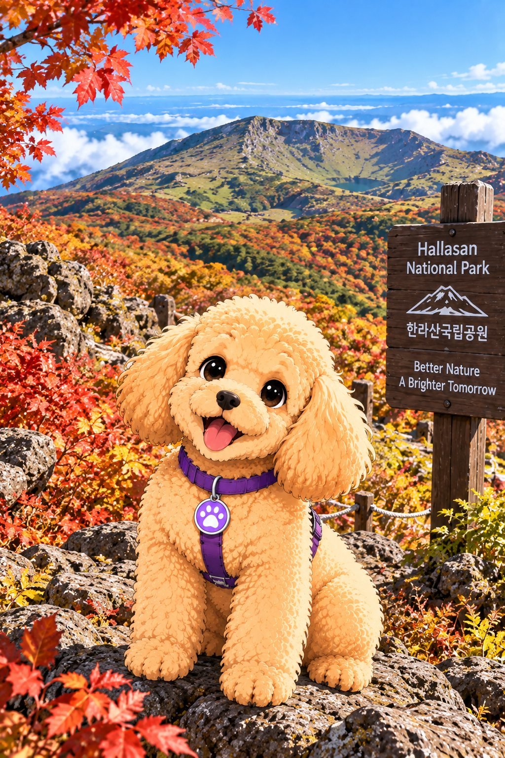
Autumn foliage adds vivid red, orange, and yellow colors to Hallasan’s volcanic mountain landscape.
Best Time to Visit
Hallasan can be visited throughout the year, but the experience changes significantly by season. Spring brings fresh vegetation, summer offers dense greenery, autumn is known for colorful foliage, and winter can transform the mountain with snow and ice.
For hiking, weather and trail conditions are more important than choosing a season based only on scenery. Rain, strong wind, snow, ice, clouds, and poor visibility can affect access and difficulty at any time of year.
Visitors planning a summit hike should check current weather, trail status, reservation requirements, entry cut-off times, and safety notices before leaving for the mountain.
How Long to Spend
The amount of time needed depends heavily on the trail. Shorter Hallasan routes can provide a forest and mountain experience within a few hours, while reaching the summit area requires a much longer and more demanding day.
Visitors attempting Seongpanak or Gwaneumsa should plan for a full hiking day and allow sufficient time for rest, changing weather, trail conditions, and required entry or turnaround times.
Do not plan a summit hike based only on distance. Elevation gain, stairs, rocky surfaces, physical condition, weather, and seasonal trail conditions can significantly affect hiking time.
Getting to Hallasan National Park
Hallasan National Park occupies a large area in central Jeju, and different trails begin from different locations. There is no single entrance that serves every hiking route.
Transportation planning should therefore begin with the specific trail you intend to use. Public buses, taxis, rental vehicles, or other transportation options may be suitable depending on the route and your starting point.
Parking conditions, bus schedules, trailhead access, road conditions, and transportation availability can change. Check current information before departure, particularly when beginning a long hike early in the morning.
First-Time Hiking Tips
- Choose your trail according to your fitness level, available time, and hiking experience.
- Check whether your selected route requires advance reservation.
- Confirm current entry cut-off times and trail access before leaving.
- Check the mountain weather forecast rather than relying only on conditions near the coast.
- Wear appropriate hiking shoes and clothing suitable for changing temperatures.
- Carry sufficient water and food for longer routes.
- Allow enough time to descend safely before trail restrictions or darkness.
- Stay on designated trails and follow all park safety and conservation instructions.
- Prepare for rain, wind, cold, snow, or ice when seasonal conditions require it.
- Do not continue toward the summit when park staff, weather conditions, or safety restrictions indicate that you should turn back.
What to Do Nearby
- Central Jeju forest areas — explore more of the island’s wooded volcanic landscape and quieter inland scenery.
- Jeju oreum landscapes — smaller volcanic cones across the island provide another perspective on Jeju’s geological character.
- Jeju countryside — fields, stone walls, rural roads, and local communities reveal a different side of the island away from major coastal destinations.
- Jeongbang Waterfall — experience a dramatic waterfall, volcanic shoreline, cliffs, and southern Jeju ocean scenery.
- Seogwipo Maeil Olle Market — explore local food, seafood, street snacks, citrus products, and everyday market culture after a mountain-focused experience.
- Seongsan Ilchulbong — experience another major volcanic landscape with a coastal crater, summit views, and sunrise scenery.
- Udo Island — explore beaches, volcanic shoreline, coastal roads, fields, and small island villages.
Jeju K-Culture Connection
Hallasan is deeply connected with Jeju’s identity. Rising from the center of the island, the mountain has influenced Jeju’s landscape, climate, ecosystems, local stories, settlement patterns, and the way residents and visitors understand the island.
For international travelers, Hallasan also shows that Korean travel extends far beyond large cities and famous entertainment districts. Hiking through forests and volcanic terrain introduces a natural side of Korea shaped by geology, conservation, seasonal change, and outdoor culture.
Hallasan now forms the mountainous center of K-Nana Studio’s wider Jeju journey. Travelers can connect it with Seongsan Ilchulbong for a coastal volcanic crater, Udo Island for island landscapes, Hamdeok Beach for turquoise water and beach culture, Seopjikoji for grasslands and volcanic cliffs, Jeongbang Waterfall for waterfall-and-ocean scenery, and Seogwipo Maeil Olle Market for local food and market culture.
FAQ
What is Hallasan National Park known for?
Hallasan National Park is known for Hallasan, South Korea’s highest mountain, as well as its volcanic landscapes, forests, seasonal scenery, hiking trails, high-altitude ecosystems, and the summit crater known as Baengnokdam.
How high is Hallasan?
Hallasan reaches 1,947 meters above sea level, making it the highest mountain in South Korea. Conditions near the upper mountain can be significantly different from those at lower elevations.
Do I need a reservation to hike Hallasan?
Reservation requirements can apply to routes associated with summit access, including Seongpanak and Gwaneumsa. Reservation systems, entry procedures, trail rules, and access conditions can change, so check the latest official Hallasan National Park information before planning your hike.
How long does it take to hike Hallasan?
Hiking time depends greatly on the selected trail. Shorter routes can provide a Hallasan experience within a few hours, while summit routes require a much longer and more physically demanding hiking day. Weather, fitness, trail conditions, rest stops, and seasonal conditions can all affect hiking time.
Can I see Baengnokdam without hiking to the summit?
Baengnokdam is Hallasan’s summit crater, so experiencing the summit area requires using an appropriate summit route when access is permitted. Visitors who do not complete a summit hike can still enjoy Hallasan’s forests, volcanic landscapes, seasonal scenery, and mountain environments on other routes.
When is the best time to visit Hallasan?
Hallasan offers different scenery throughout the year. Spring brings fresh vegetation, summer offers dense greenery, autumn is known for colorful foliage, and winter can bring snow and ice. The best time depends on your hiking goals, while current weather and trail conditions should always take priority when planning a visit.
Related K-Nana Guides
Continue exploring Jeju with Seongsan Ilchulbong for UNESCO volcanic scenery and sunrise, Udo Island for beaches and island landscapes, Hamdeok Beach for turquoise water and coastal cafés, Seopjikoji for grasslands and volcanic cliffs, Jeongbang Waterfall for waterfall and ocean scenery, and Seogwipo Maeil Olle Market for street food, seafood, local products, and everyday Jeju market culture.
Official Information
Hallasan National Park is a protected mountain environment where hiking and access conditions can change according to weather, season, trail maintenance, conservation requirements, and safety conditions. Trail reservations, summit access, entry cut-off times, closures, parking, public transportation, visitor facilities, and individual route conditions may change. Check current official Hallasan National Park information before hiking, particularly when planning Seongpanak, Gwaneumsa, or summit access, and always follow park staff instructions, designated trails, safety notices, and conservation rules.
Image Credits
Hallasan National Park, Baengnokdam, and Jeju mountain family travel visual — K-Nana Studio original visual.
Hallasan forest hiking trail with Dad and Nana visual — K-Nana Studio original visual.
Hallasan high-altitude nature and mountain scenery with Mom and Nana visual — K-Nana Studio original visual.
Hallasan summit and Baengnokdam views with K-Nana daughter and Nana visual — K-Nana Studio original visual.
Nana enjoying Hallasan autumn foliage and mountain scenery visual — K-Nana Studio original visual.